Ladock Parish Map
Click on the Cornwall Council Interactive Map image to access the Cornwall Council Interactive Map. To search for a location, type in the postcode, part of an address, a street or place name to search for: e.g. Ladock Church and then click the OK button. Click the Zoom buttons to zoom in or out.
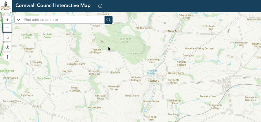
Parish Boundary

Layers Button
To view the Parish Boundary, on the Cornwall Council Interactive Map Toolbar, click the Layers button.
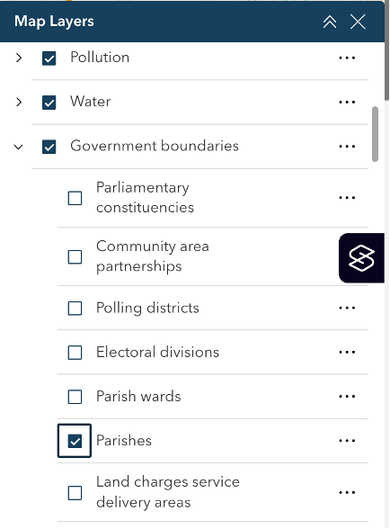
In the Map Layers pane, scroll down to Government boundaries and select Parishes.
Click the Close button (right of Map layers title bar) to close the Map layers window and view the Parish Boundary.
